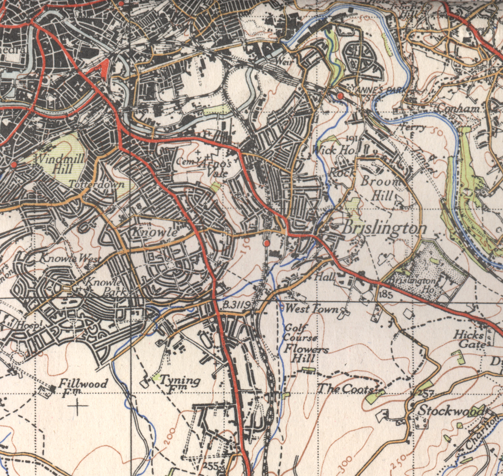
1946 map - 6th Ed OS, 1"
Click ^ for larger image.
This Ordnance Survey map shows Brislington as it was some time before 1946. Ordnance survey maps can be a bit confusing because they didn't update everything all at once (this is based on a full revision in 1930, with subsequent additions).
This is from map 156 "Bristol & Stroud" in the New Popular Edition (often referred to as the 6th Edition) of Ordnance Survey maps, at the scale of one inch to the mile (1:63360).
For higher resolution local maps of a variety of dates, visit Know Your Place. This resource is interactive and anyone can contribute photos and information.
A variety of other high resolution local maps are availabe from the National Library of Scotland. Other sources are available.
Period: Modern
Exhibit contributed by Ordnance Survey
Text written by Ken Taylor (2022)
Acquisition number: 220309a2