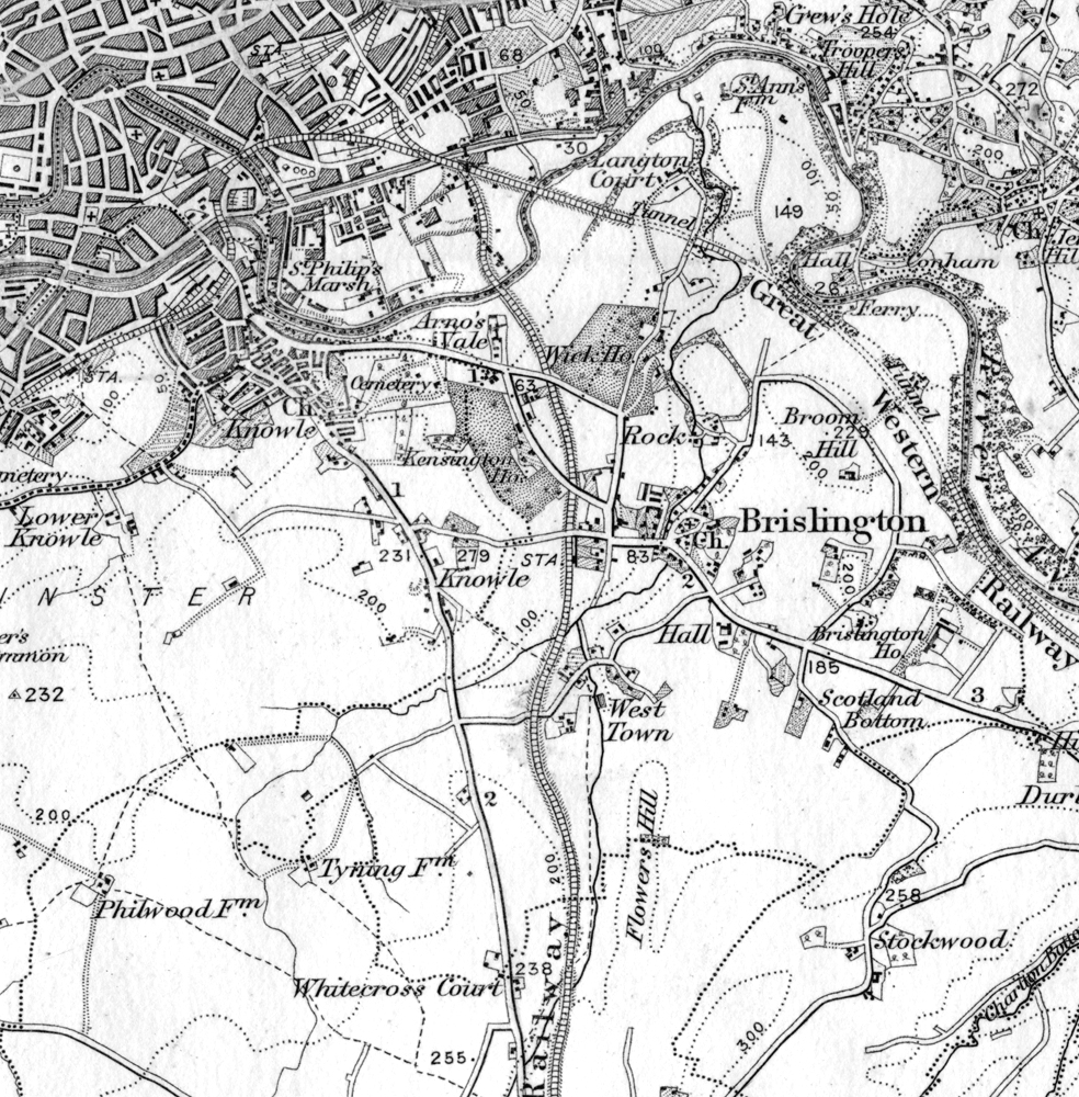
c.1880s map - 2nd Ed OS, 1"
Click ^ for larger image.
This Ordnance Survey map shows Brislington as it was before the boundary change of 1897. Unfortunately this exhibit isn't dated, but new buildings such as those west of Bellevue Park and beside Brislington Brook, which are shown on a larger scale map published in 1887 (Gloucestershire Sheet LXXVI.NW, six inches to the mile) are absent, so we may deduce this version is earlier.
This is from Ordnance Survey map 242 of the New Series. This series, often referred to as the 2nd Edition, began to replace the 'Old Series' (1st Edition) maps in 1869. The scale of the original map was one inch to the mile (1:63360).
For higher resolution local maps of a variety of dates, visit Know Your Place. This resource is interactive and anyone can contribute photos and information.
A variety of other high resolution local maps are availabe from the National Library of Scotland (other sources are available).
Period: Modern
Exhibit contributed by Ken Taylor
Text written by Ken Taylor (2022)
Photographer: Original map by Ordnance Survey
Acquisition number: 220930a1